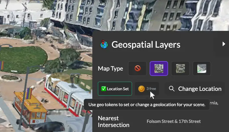
5 posts tagged with "geospatial"

View All Tags

Creating AR Scenes with Historic Imagery and 3DStreet's Viewer Mode

· 9 min read
Kieran Farr
Creator of 3DStreet

Ever wondered what your neighborhood looked like 100 years ago? With 3DStreet's enhanced AR capabilities and AI tools like World Labs, you can now create immersive augmented reality experiences that let people walk through history. I recently used this workflow to create AR scenes of historic San Francisco for a Green Density walking tour, allowing participants to toggle between past and present views of the same location.

What You'll Create

This tutorial will walk you through the complete process I used to create AR experiences for my Green Density walking tour, where participants could scan QR codes and see how San Francisco's landscape has evolved over time.


By the end of this tutorial, you'll have:

  • Transformed historic photos into 360° panoramic scenes using World Labs
  • Created geospatially-positioned AR scenes in 3DStreet
  • Generated QR codes for easy sharing with tour participants
  • Built an engaging community experience that brings history to life

Transforming Street Design with Augmented Reality: Lessons from the Front Lines

· 5 min read
Kieran Farr
Creator of 3DStreet
Nick Kaufmann
Community Manager, InCitu

How AR is revolutionizing community engagement and accelerating urban planning projects

A webinar banner image showing a perspective of an augmented reality overlay on top of a real-life picture of a street with promotional text for a webinar


The future of urban planning is happening right on our streets. In a recent webinar featuring 3DStreet founder Kieran Farr and InCitu's Nick, we explored how augmented reality (AR) is transforming community engagement with street design proposals.

Announcing 3DStreet Geospatial Pro Early Access

· 3 min read
Kieran Farr
Creator of 3DStreet

We’re thrilled to announce the early access launch of 3DStreet Geospatial Pro introducing groundbreaking 3D map integrations, drag-and-drop 3D model placement, augmented reality features, and more.


Community advocate Andrew Seigner used 3DStreet Geospatial Pro to propose a few alternative treatments for a Hayes Street Promenade in San Francisco.

Exploring New Geospatial and Augmented Reality Features for 3DStreet

· 7 min read
Kieran Farr
Creator of 3DStreet

"Geospatial" is the uniting theme for the many feature requests we get from 3DStreet's growing user base. Users can already place custom street scenes, so it's natural to understand why geospatial features like 3D Google Map Tiles or Augmented Reality visualization keep coming up in conversations with users when we explore common repeatable workflows for visualizing safer infrastructure.

To kick off 2024 we've been doing some experiments to see how these technologies could be applied to public streets and spatial design.

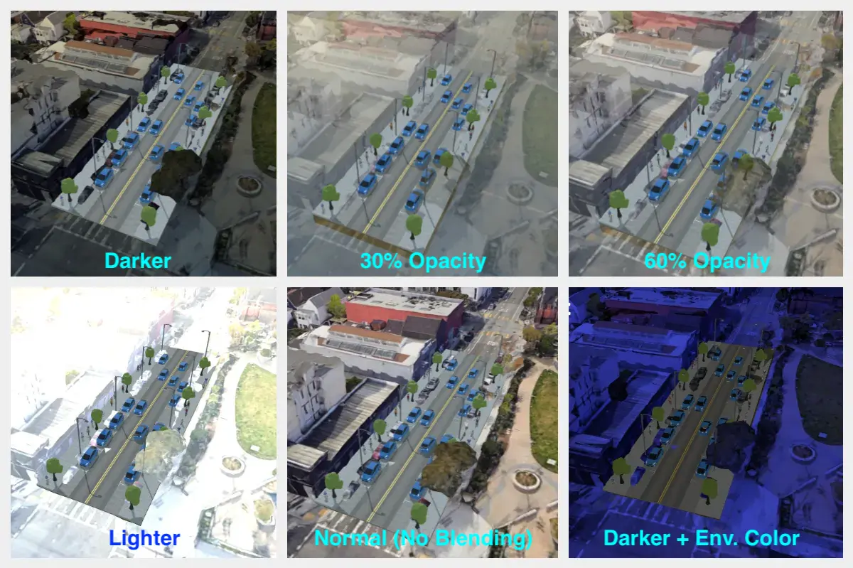
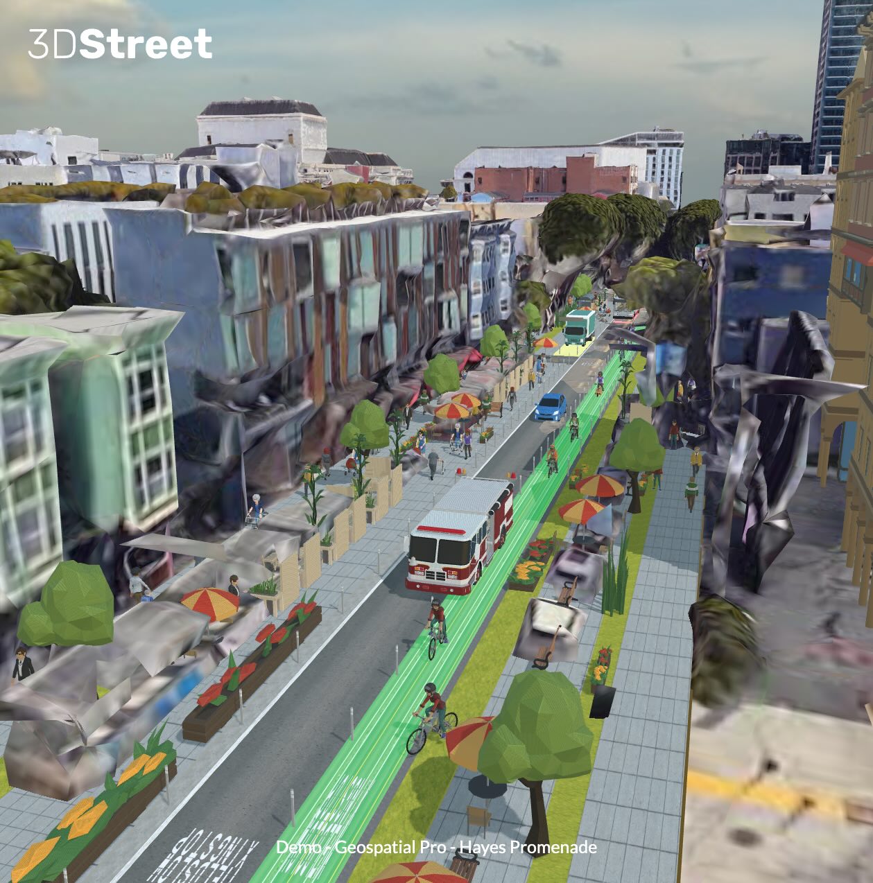
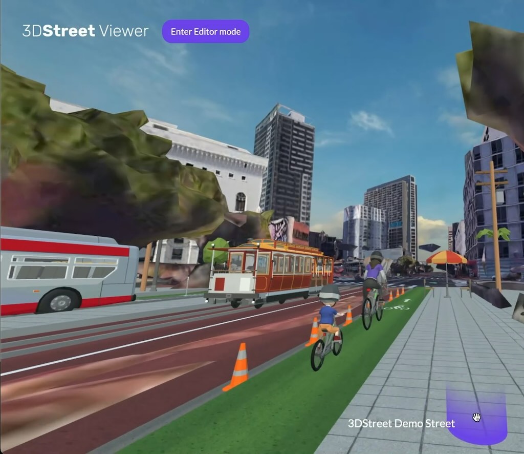
Proof of concept 3D Tiles and 3DStreet scene combined.