
4 posts tagged with "university partnership"

View All Tags

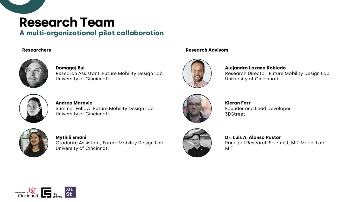
AR Street Planning Meets Real Communities in University of Cincinnati Pilot

· 6 min read
Kieran Farr
Creator of 3DStreet

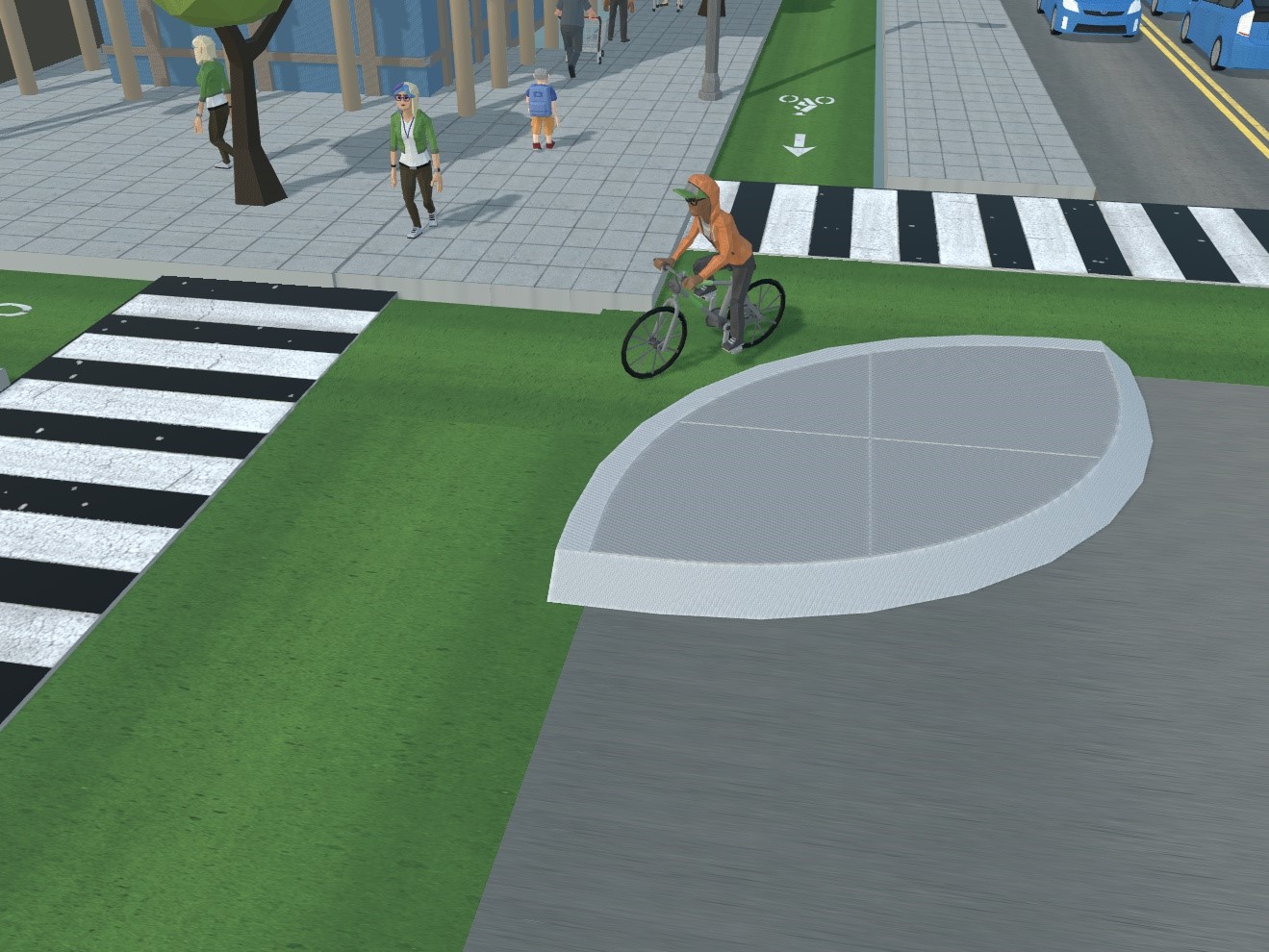
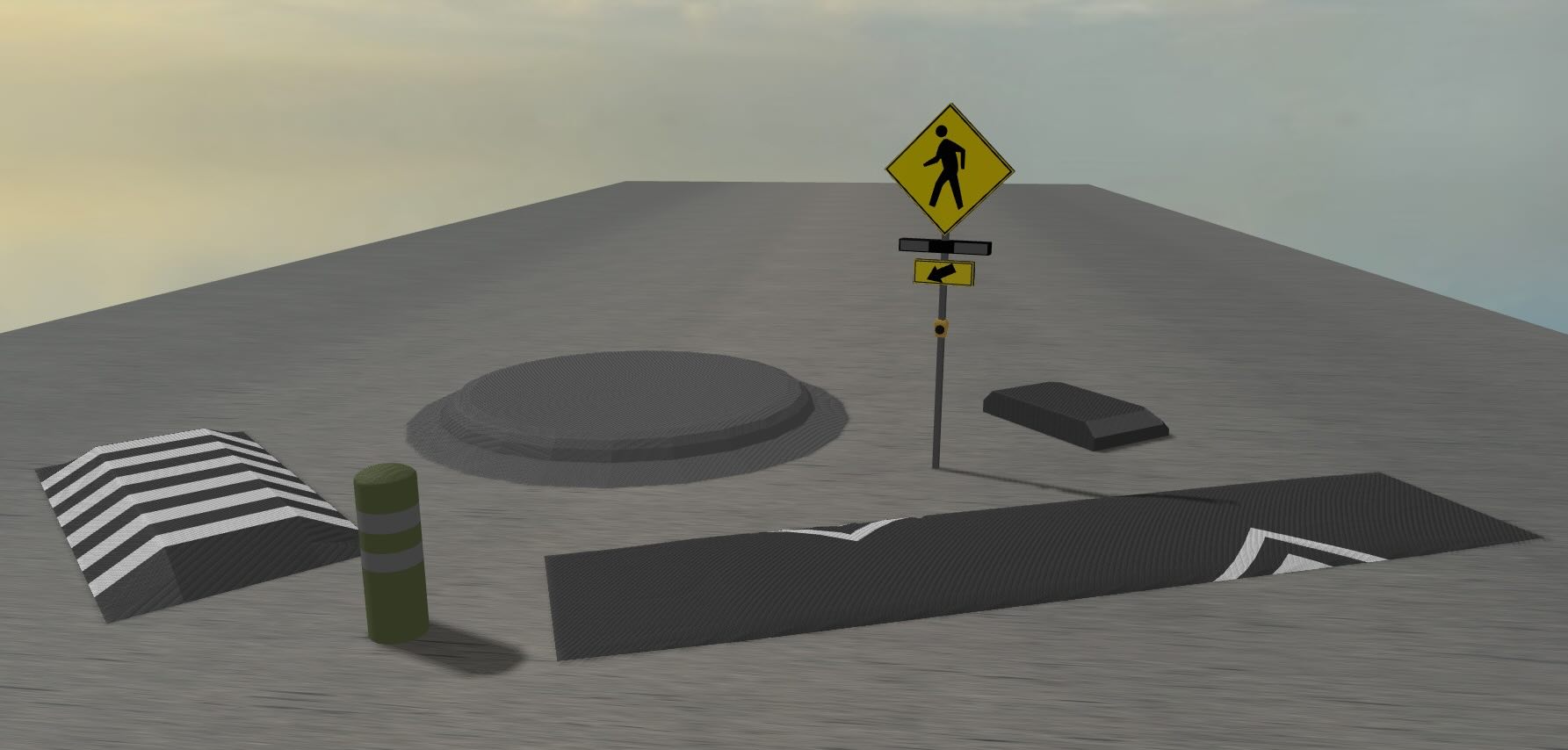
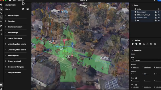
Can augmented reality transform how communities engage with street redesigns? A research collaboration between University of Cincinnati's Future Mobility Design Lab, MIT City Science Lab, and 3DStreet just proved the answer is yes—and created a replicable blueprint for cities worldwide.

AR Street Planning in Cincinnati

Open-sourcing 3D traffic safety objects with University of Oregon I3 Program

· 4 min read
Luke Walker
AR Designer & Researcher

I'm Luke Walker, a recent graduate of the Immersive Media Communications Master's program from the University of Oregon and I'm proud to share the open-source release of 3D traffic safety device models as a result of a collaboration with the University of Oregon’s Incubating Interdisciplinary Initiatives (I3) 2023 award program for "Developing Augmented Reality (AR) Visualization Tools to Increase Sustainable Transportation."

The I3 program fosters new research projects across disciplines, in this case communications & planning -- advised by Dr. Danny Pimentel in UO's School of Journalism and Communication, Dr. Marc Schlossberg in UO's School of Planning, Public Policy and Management with 3DStreet serving as an outside technical partner.

Creating Augmented Reality Street Scenes with Streetmix, 3DStreet and Adobe Aero

· 6 min read
Marc Schlossberg
Professor, City & Regional Planning, University of Oregon

Greetings! I'm Marc Schlossberg, and I've been working alongside Danny Pimentel and graduate student Luke Walker at the University of Oregon on an exciting project: crafting augmented reality (AR) landscapes for our streets. What I have here is a practical, step-by-step guide designed to walk you through how to bring this innovative vision to your own neighborhood. So, let's roll up our sleeves and get our hands digitally dirty!