Introducing AI Assistant Beta: Your Creative Partner for Street Design
· 7 min read

Features have changed since this post
The AI Assistant has been renamed to Console and now lives as a tab in the right-hand side panel, not a floating button at the bottom. The Report Generator described in earlier posts has been removed, and the Console now streams a live history of every editor command as pills you can rewind or replay. See the current Console documentation for up-to-date behavior. We're keeping this post for historical context.
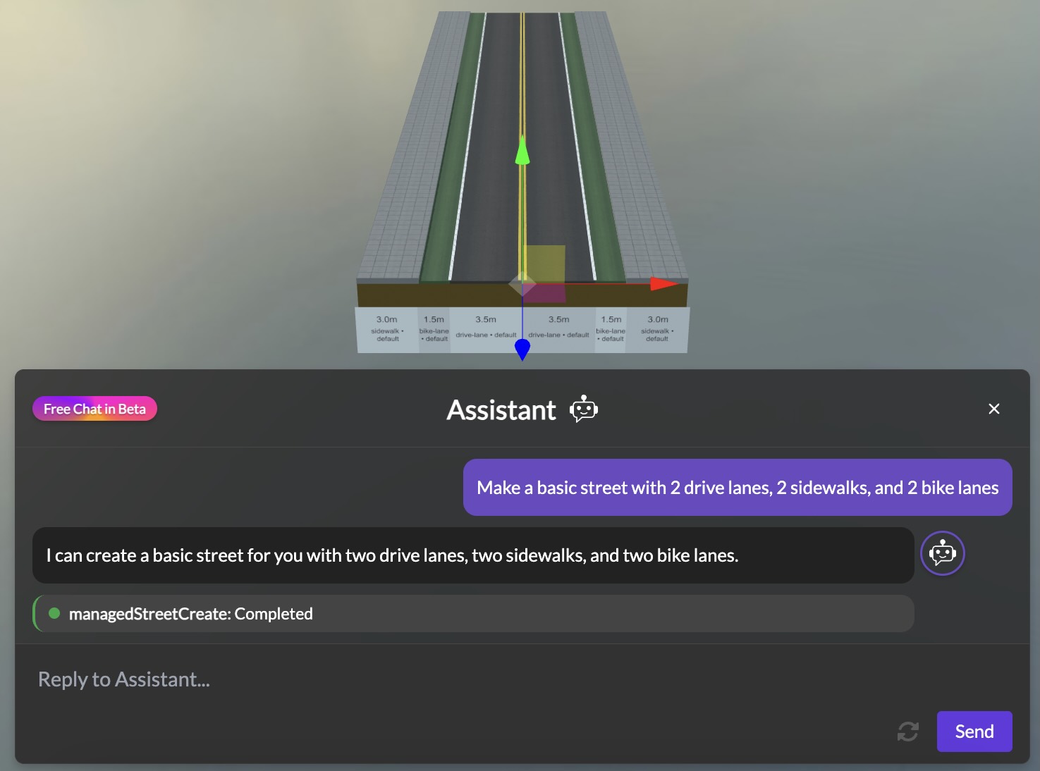
Today we're excited to announce the beta release of the 3DStreet AI Assistant, a new way to create and modify street designs using simple natural language. Just describe the street scene you want to create, and watch as your vision comes to life – no complex 3D editing required.*


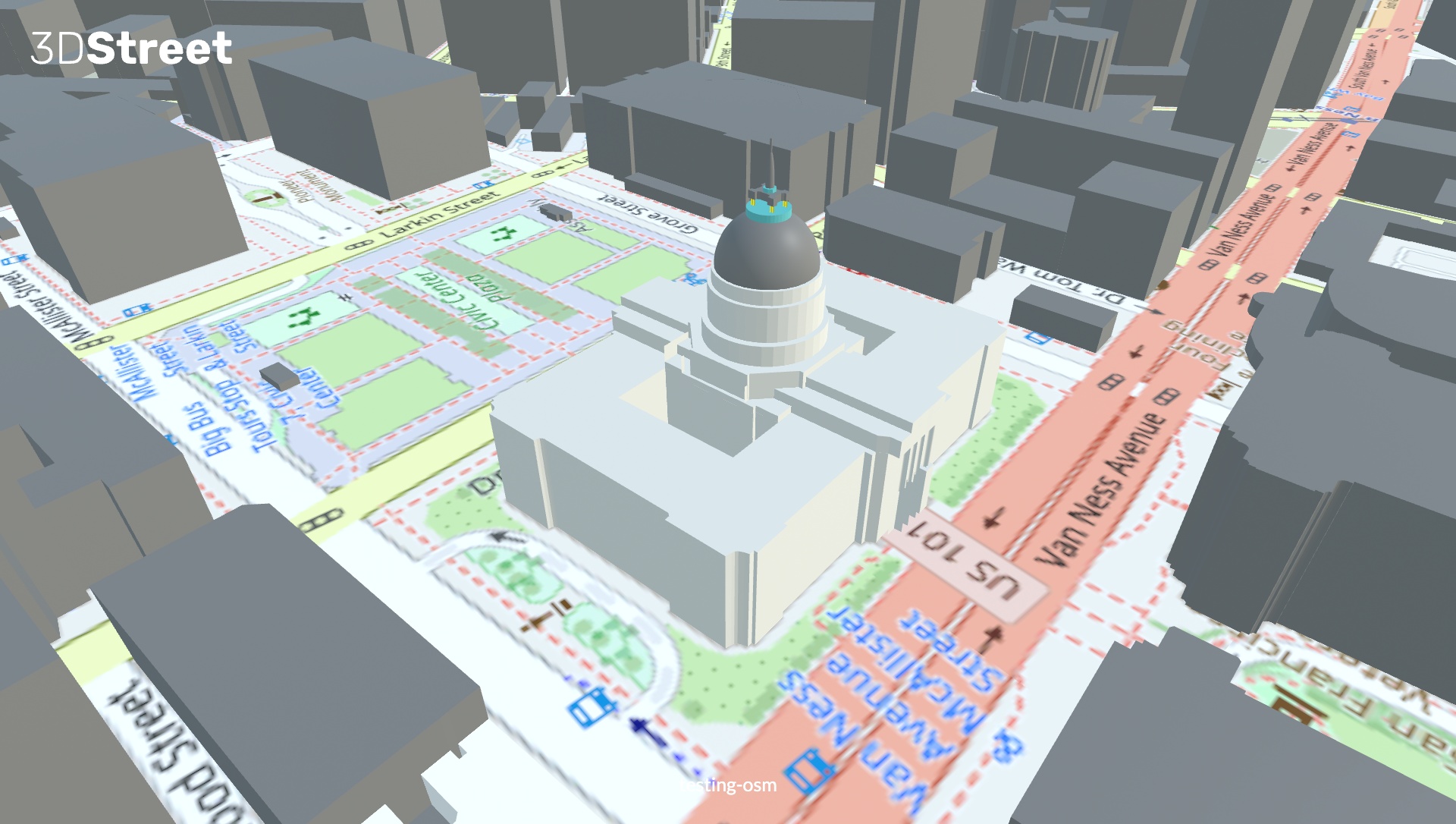 A screenshot of the new 3DStreet OSM integration showing San Francisco City Hall.